

Now, experience 4 decades of planetary changes as Google Earth unveils 'Timelapse' feature

Story highlights
For doing this, Google has used 24 million satellite photos from the last 37 years
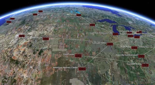
Google has announced a new "Timelapse" feature for Google Earth in which people can see four decades of planetary change.
For doing this, Google has used 24 million satellite photos from the last 37 years.
Also read | Instagram launches experiment to hide 'likes'
"Our planet has seen rapid environmental change in the past half-century -- more than any other point in human history. The new Timelapse feature in Google Earth compiles 24 million satellite photos from the past 37 years into an interactive 4D experience," Google CEO Sundar Pichai said on Thursday as quoted by news agency PTI.
"For the first time, we'll put a vivid depiction of our rapidly changing planet into the hands of everyone, everywhere," Rebecca Moore director of Google Earth, Earth Engine, and outreach said in a news conference.
She called this the biggest update to Google Earth since 2017 and with this people can see the Earth in a completely new dimension.
Timelapse, she said, was made possible due to the US government and European Union commitments to open and accessible data.
NASA, US Geological Survey, European Commission, and the European Space Agency, provided Google Earth with the images.
"We like to say if Google maps is about finding your way, Google Earth has been about getting lost and we've focused on creating the most realistic digital representation of the planet that's ever been put into the hands of the public with features that entertain people and enlighten people," the Google Earth director said.
(With inputs from agencies)